Tiling system to delineate entire basins
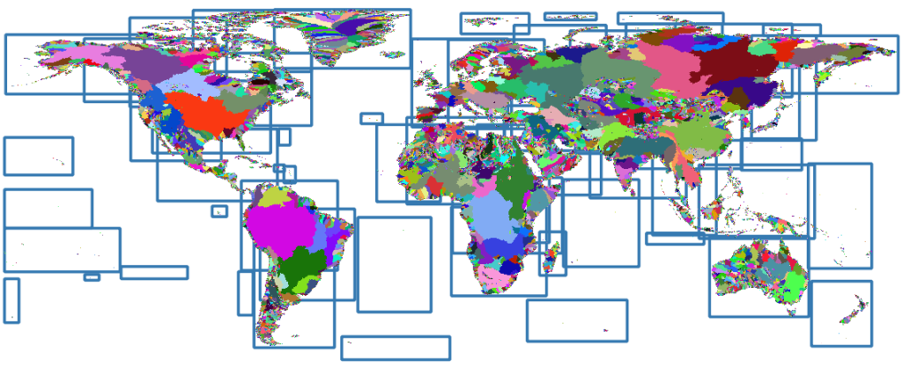
Global basin delineation 
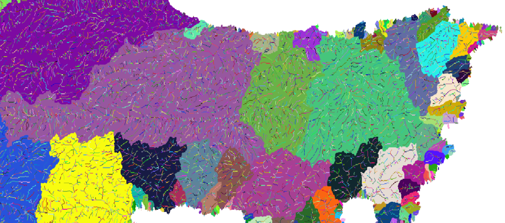
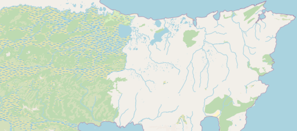
We zoom into the Terra del Fuego are in Argentina to have a closer look at the detailed hydrographical network. The minimum upstream flow accumulation threshold for initiating a headwater stream was set to 0.05 km2. This small value allows delineating small headwater streams at greater detail. In other recent works, the threshold was set to 5 km2 (Yamazaki et al. 2019) and 25 km2 (Lin et al. 2019), hence our low threshold contributes to a great improvement regarding a global, seamless high-resolution stream network delineation.
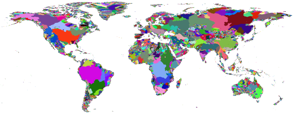
Global basins and stream network
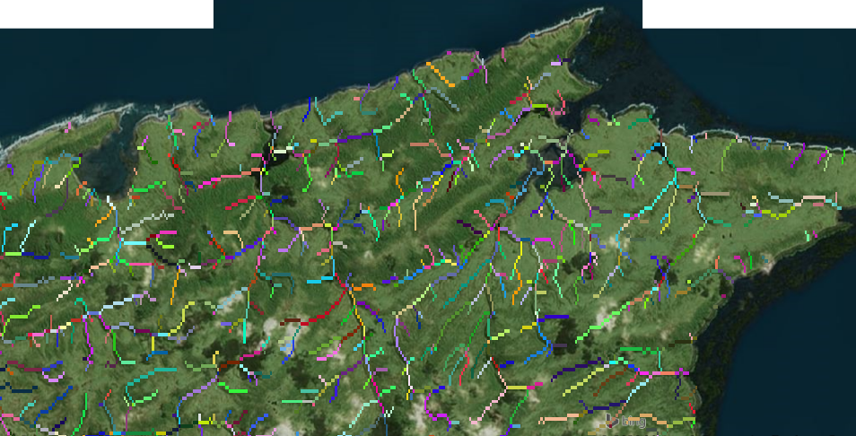
Stream network and OpenStreetMap overlay
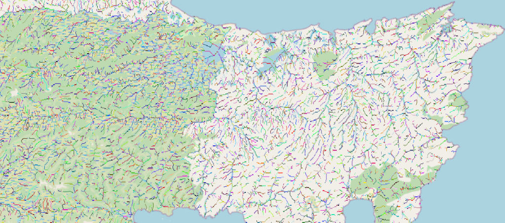
Our stream network is able to identify very small streams, that are not present in OpenStreetMap.
OpenStreetMap
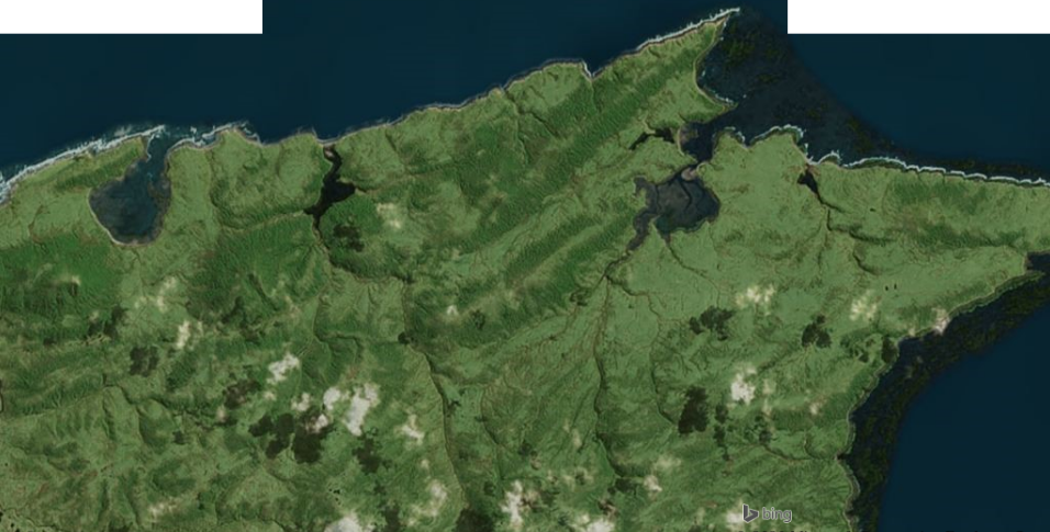
Stream network and satellite image overlay
Overlaying the stream network and satellite images highlight a very high match of the valleys and potential streams.
Satellite images
The validation procedure of the hydrographical network using national datasets is currently ongoing.