Development Fellowship Award Winners
Our upcoming summer school is preparing to launch so we’re especially happy to announce the winners of our Developing Country Fellowships. The fellowship grants participants from developing countries a reduction in tuition fees and is designed to expand learning opportunities for bright and talented students and professionals. The fellowship also effectively internationalizes our program. So without further ado, let’s meet one of our Development Fellows!
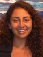
Cinthia Villalobos Suárez
 Cinthia is also a cofounder of Verdeagua, a nonprofit organization with a mission to promote sustainable development in communities by prioritizing the generation and divulgence of information from scientific studies…
Hailing from Costa Rica, Cinthia Villalobos Suárez is pursuing her master’s degree in Natural Resource Management at Universidad Nacional de Costa Rica. Cinthia’s current research is through the Laboratory of Systematics, Genetics, and Evolution and focused on population viability of howler monkeys in Guanacaste. She holds degrees in biology and nanotechnology and is well versed in R statistics and QGIS, but has a pension for fieldwork too, as a data collection supervisor of sea turtle nesting and population data. Cinthia is also a cofounder of Verdeagua, a nonprofit organization with a mission to promote sustainable development in communities by prioritizing the generation and divulgence of information from scientific studies; the purpose of fostering engagement of scientific and public communities and officials is to promote environmental activism. Cinthia is looking forward to expending her knowledge of QGIS and hopes to build on her use of command line tools to process geographic information through the summer school offered in Matera. Congratulations, Cinthia, and welcome aboard!
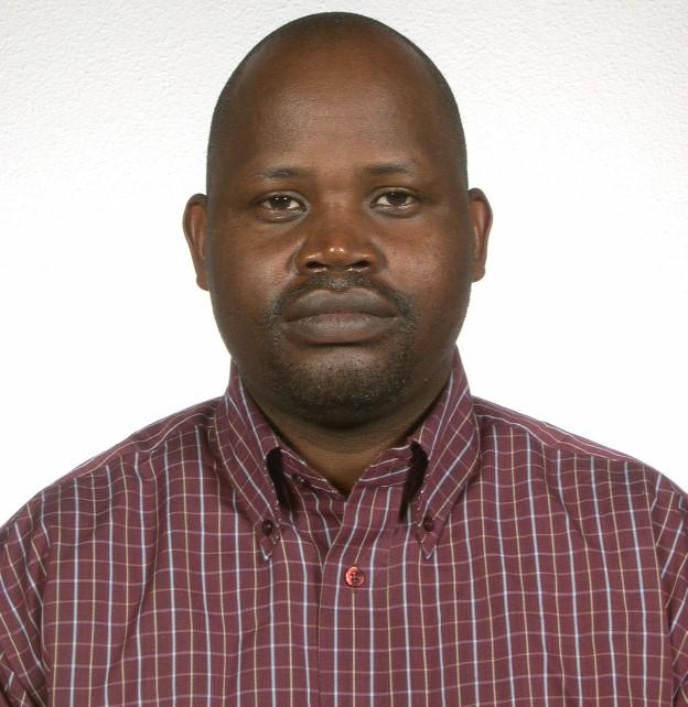
John Wasige, Ph.D.
John earned his doctorate in Geo-Science from ITC in The Netherlands. He is currently a research fellow at Makerere University in Kampala where he focuses on spatial environmental quality. John has a strong interest in developing career skills that will function in response to, as he puts it, “an explosion of freely available data for environmental spatio-temporal research.” His understanding of the increasingly complex workflows that are necessary for handling Big Data traditionally are managed by software packages that require expensive licenses, which are difficult to acquire for institutions in developing countries. John points out that open source alternatives such as R, GRASS, QGIS, Python, and GDAL are excellent tools for monitoring impacts of climate, la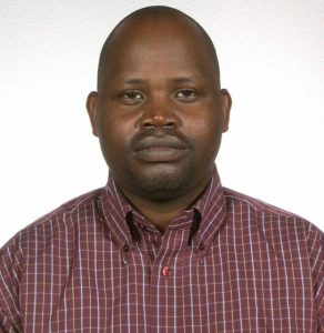 nd use, water quality, and biodiversity changes. John is a member of a growing body of scientists charged with teaching and mentoring future generations of scientists and environmental policy makers in Uganda (and Africa at large), whom will be one day become critical players in natural resource conservation and ecosystem monitoring.
“My new skills will be applied in the innovative analysis of large scale time series of remotely sensed images (MODIS, Landsat, NOAA AVHRR NDVI, Sentinel) and climate data-sets for science-based monitoring of the environment in the aspects of land use changes, trends and abrupt changes in biomass and climate, food security assessments, fire, and drought” – John Wasige, Ph.D.
Congratulations, John!
Kamar Khazal
Kamar is currently working towards a PhD. In Rain Harvesting in at Florence University, but began studying in Italy after relocating to Firenze from Syria. Kamar has extensive experience with environmental and natural resource policy development. As Content Creator for Syrian Researchers, Kamar worked with the Department of External Relations to build partnerships with funding agencies and contributed to the foundation’s public relations initiatives. Kamar also has experience managing engineers during land reclamation projects in Southern Syria and served as head liaison between the department of finance and local farmers. Some of Kamar’s experience also includes working with irrigation systems, agricultural breeding, and scientific literature translation. Speaking four languages, Kamar’s experience and background truly embodies the mission of the Development Fellowship. Congratulations, Kamar!
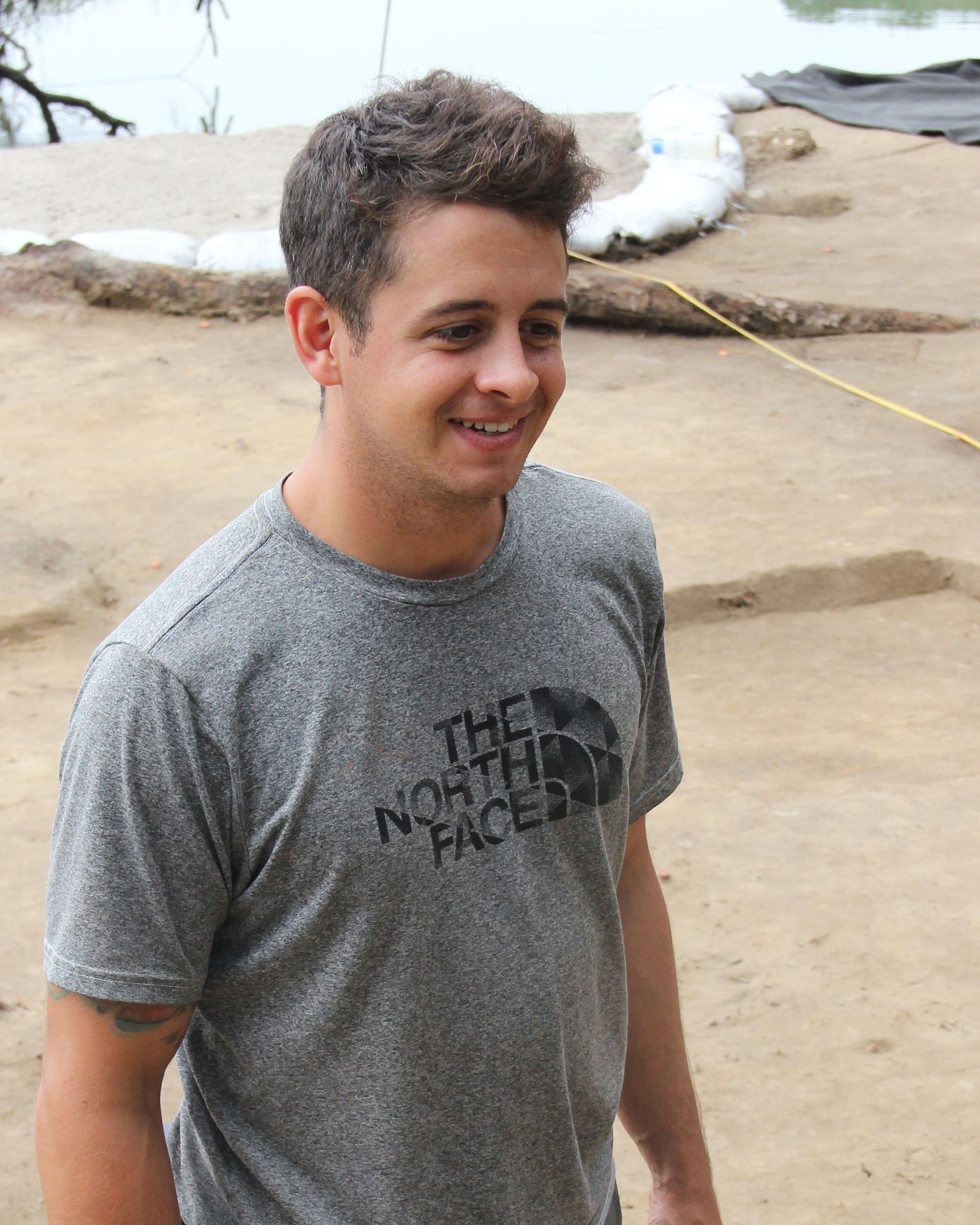
Yucel Torun
Yucel is also a Ph.D. student focusing on Geographical Information Technologies at the Disaster and Emergency Management Department of Istanbul Technical University. He has a diverse academic background, but is drawn to public responses, management, and education of disaster and crisis systems. Educated in Ankara and Istanbul, Turkey, Yucel has an extensive record of presenting his research internationally through conferences and forthcoming journal contributions. Remote sensing is also one of his interests, and he has presented on this topic at IEEE International conferences. He is interested in bolstering his skills with using geographical information technologies, particularly open source software, as it will inform his research on humanitarian logisitics and its spatial organization and management. Congratulations, Yucel!