We enforce the use of Open Source software to mitigate the digital/technology device in Africa.
Category: Uncategorized
Photo Matera 2019
Day -1
Toning the material for the Summer School #Geocomputation Using Free & #OpenSource Software. 3rd – 7th June 2019, @Matera, Italy. G. Amatulli @YaleCRC @BigDataEcology, A. Fonseca @AF_CompNeuro, L. Shen @AquiTatu | info at https://t.co/d5CvM934yz pic.twitter.com/kMVhpusyzX
— spatial-ecology (@BigDataEcology) May 31, 2019
Day 1
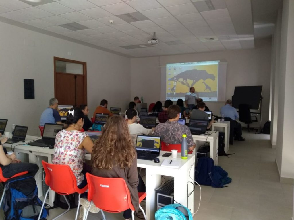
Starting the summer school with a full class!! Professor Giuseppe introducing #Linux and #bashProgramming#Geocomputation @Matera, Italy. G. Amatulli @YaleCRC @BigDataEcology, A. Fonseca @AF_CompNeuro, L. Shen @AquiTatu pic.twitter.com/ok6M4Mh2US
— spatial-ecology (@BigDataEcology) June 3, 2019
Day 2
Day 2 of the #Geocomputation summer school @Matera, Italy with Prof. G. Amatulli presenting #QGIS and pktools!
One more day of full class! Keep it up, guys! 💪 pic.twitter.com/KzmFcpeIMQ— spatial-ecology (@BigDataEcology) June 4, 2019
Day 3
Day 3 of the #Geocomputation summer school @Matera, Italy. L Shen @AquiTatu teaching basic #python F. Lovergine teaching advance #geopython | G. Amatulli @YaleCRC @BigDataEcology A. Fonseca @AF_CompNeuro | #DataScience | #GeoCompCourse | info at https://t.co/d5CvM934yz pic.twitter.com/n0gEHLT1Ui
— spatial-ecology (@BigDataEcology) June 5, 2019
Day 4
Day 4 of the #Geocomputation summer school @Matera, Italy. L Shen @AquiTatu overperform in teaching the fundamental aspects of #randomforest in a #Geocomputation framework | #DataScience | #GeoCompCours pic.twitter.com/7r1AzFuNfP
— spatial-ecology (@BigDataEcology) June 6, 2019
Day 4 of the #Geocomputation summer school @Matera, Italy. A. Fonseca @AF_CompNeuro present #NeuralNetworks for #Geocomputation | #DataScience | #GeoCompCours | @YaleCRC | info at https://t.co/d5CvM934yz pic.twitter.com/txxFBb6fbW
— spatial-ecology (@BigDataEcology) June 6, 2019
Day 5
Day 5 of the #Geocomputation summer school @Matera, Italy. Last Friday we wrap-up the classes with interesting examples of language integration #python #rstat #bash #awk #gdal #pktools in multicore processing | #DataScience | #GeoCompCours | @AquiTatu | @AF_CompNeuro | @YaleCRC pic.twitter.com/loNPVKZr3b
— spatial-ecology (@BigDataEcology) June 10, 2019
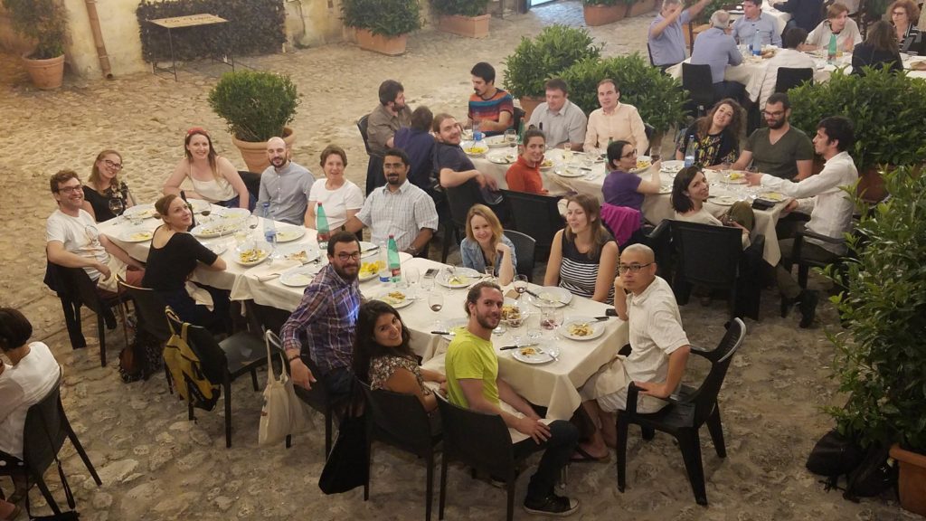
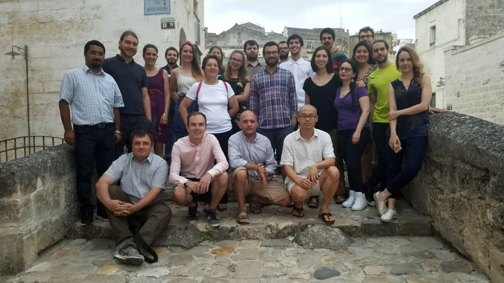
Social interaction
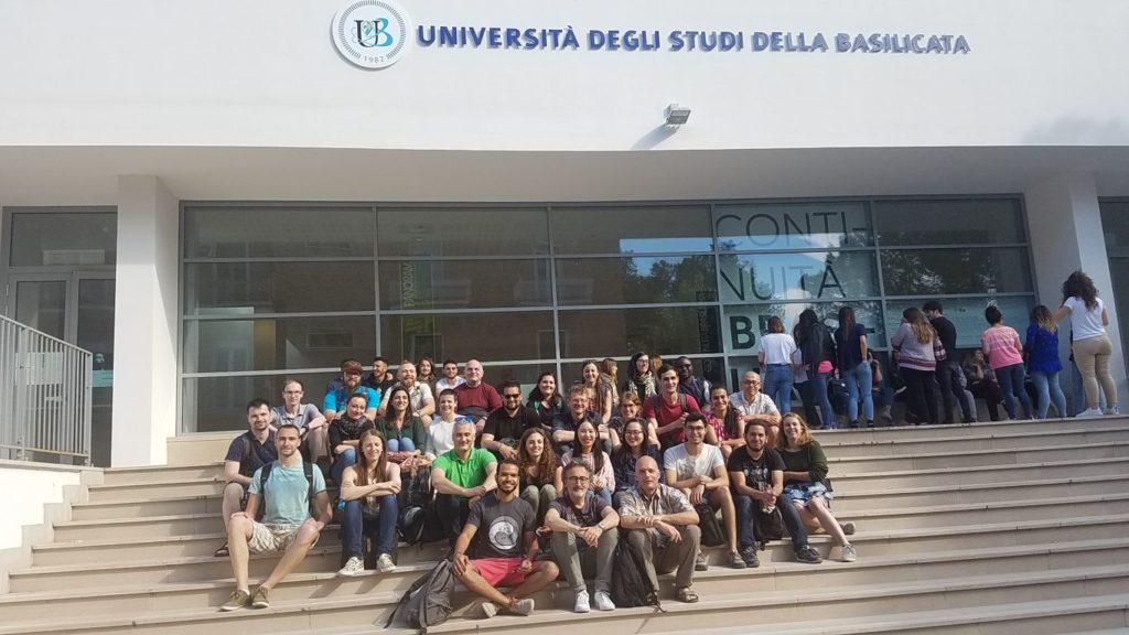
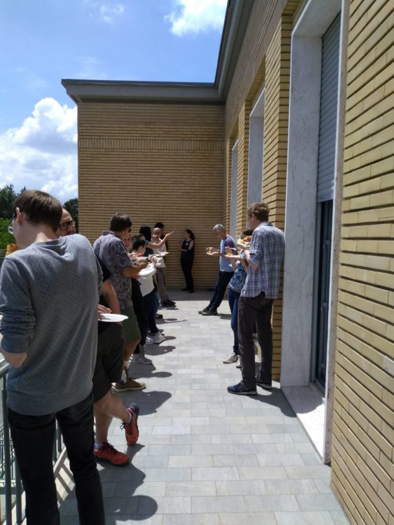
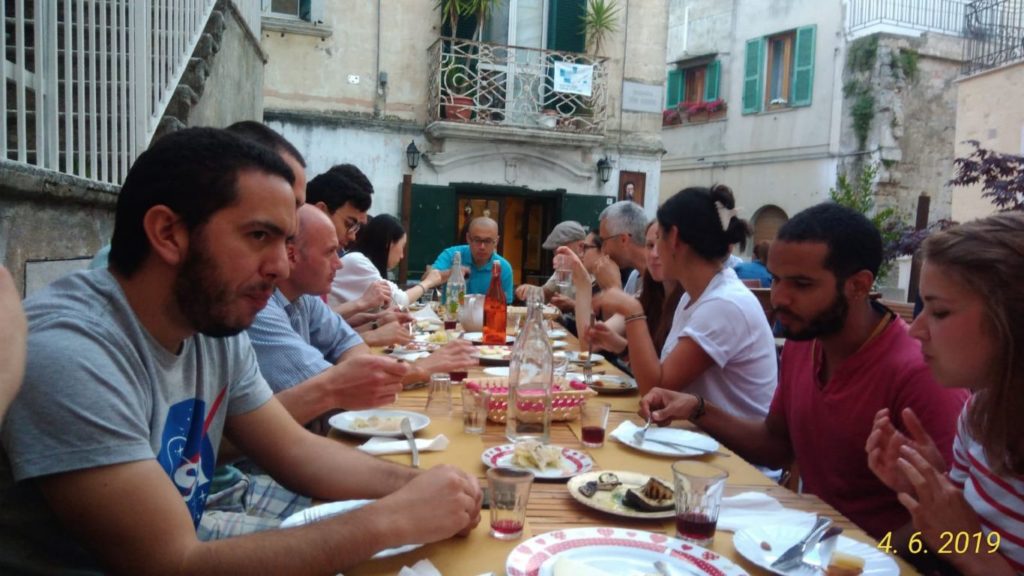
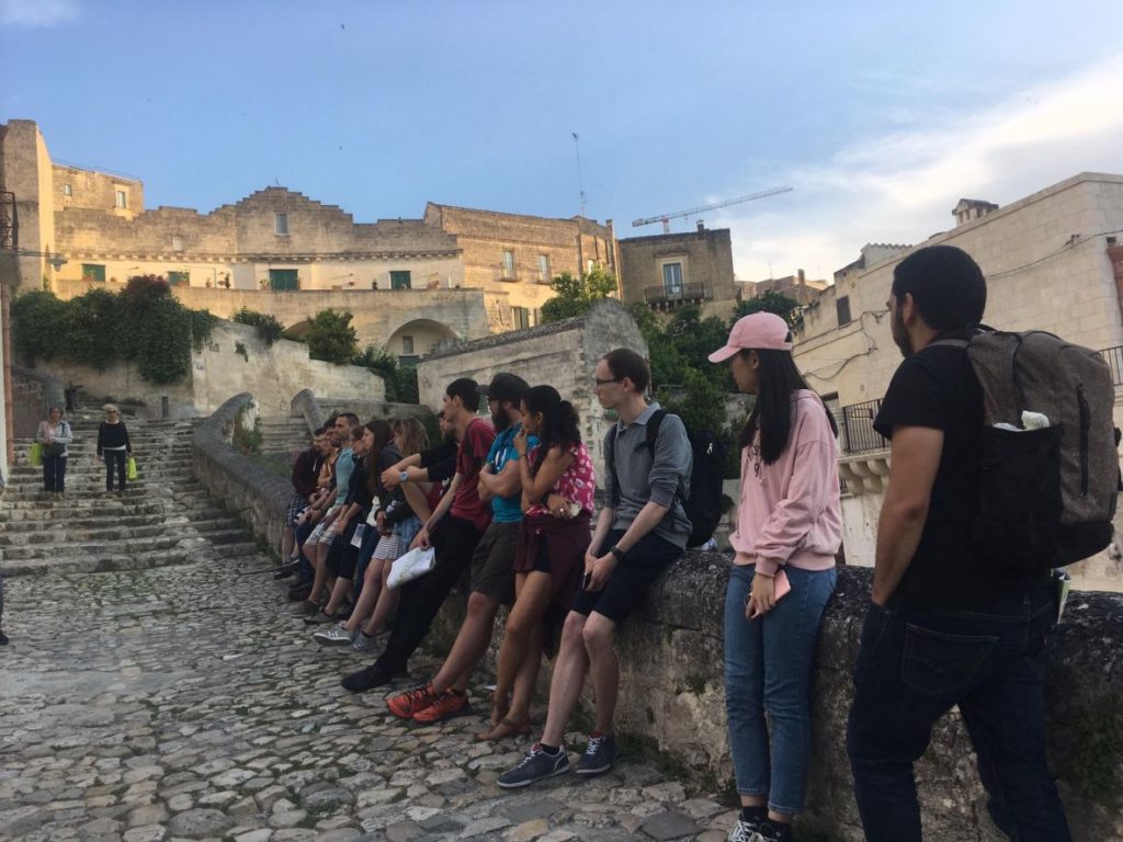
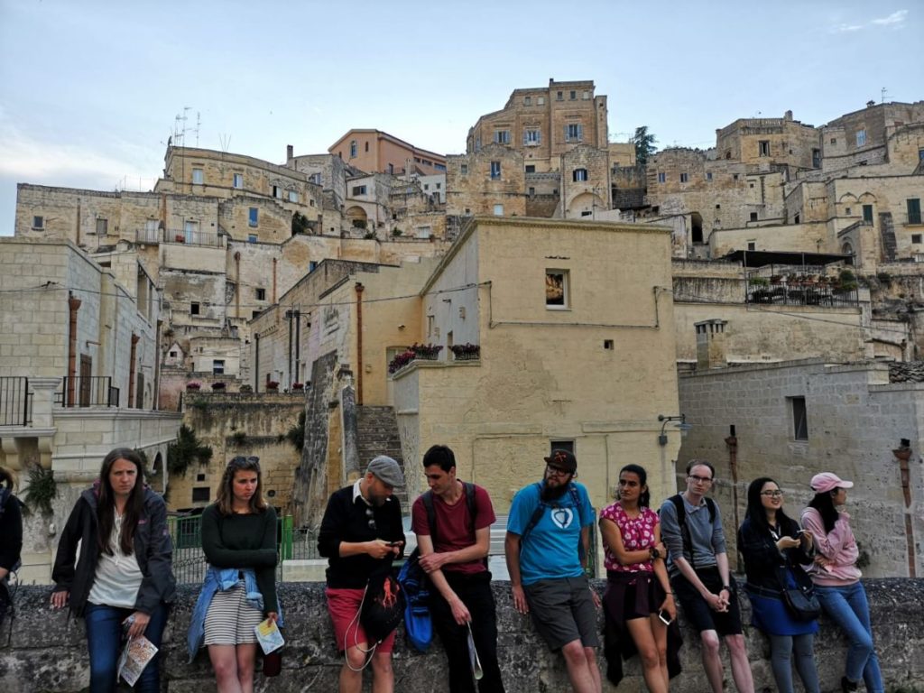
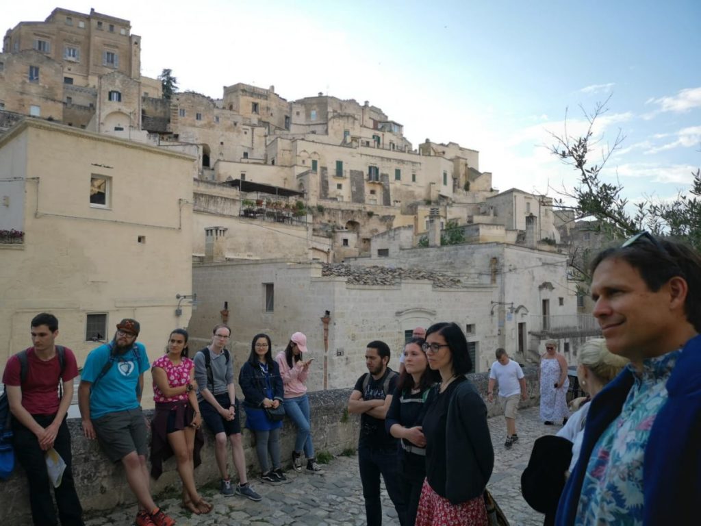


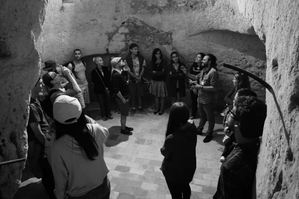
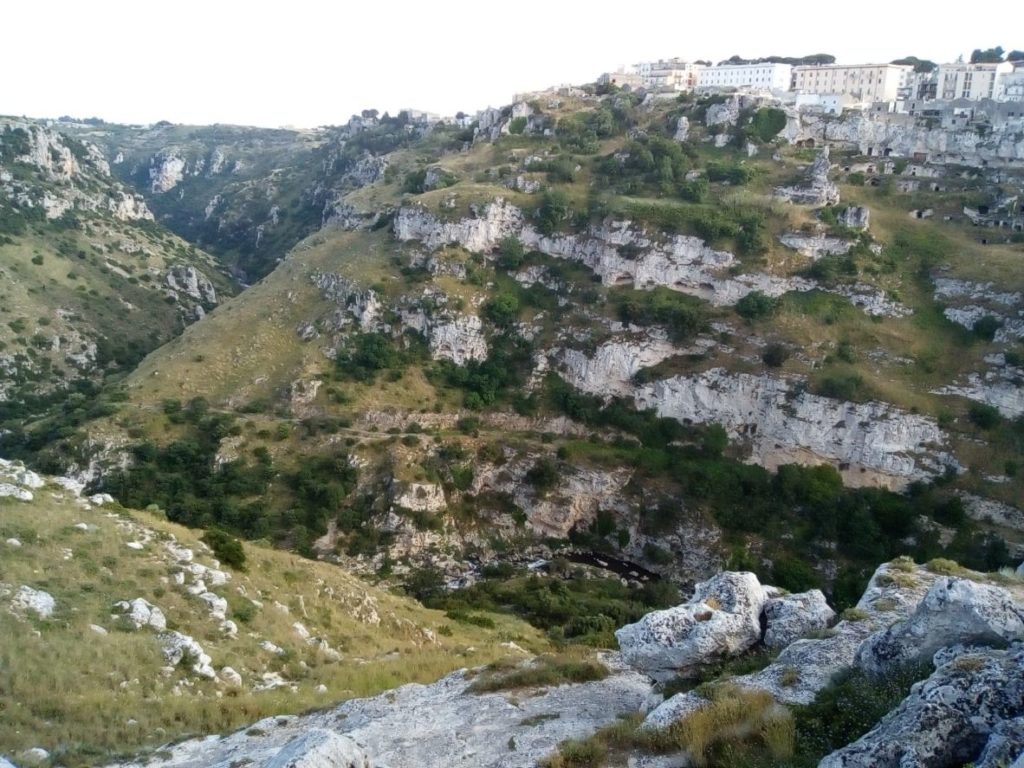

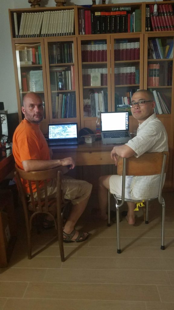
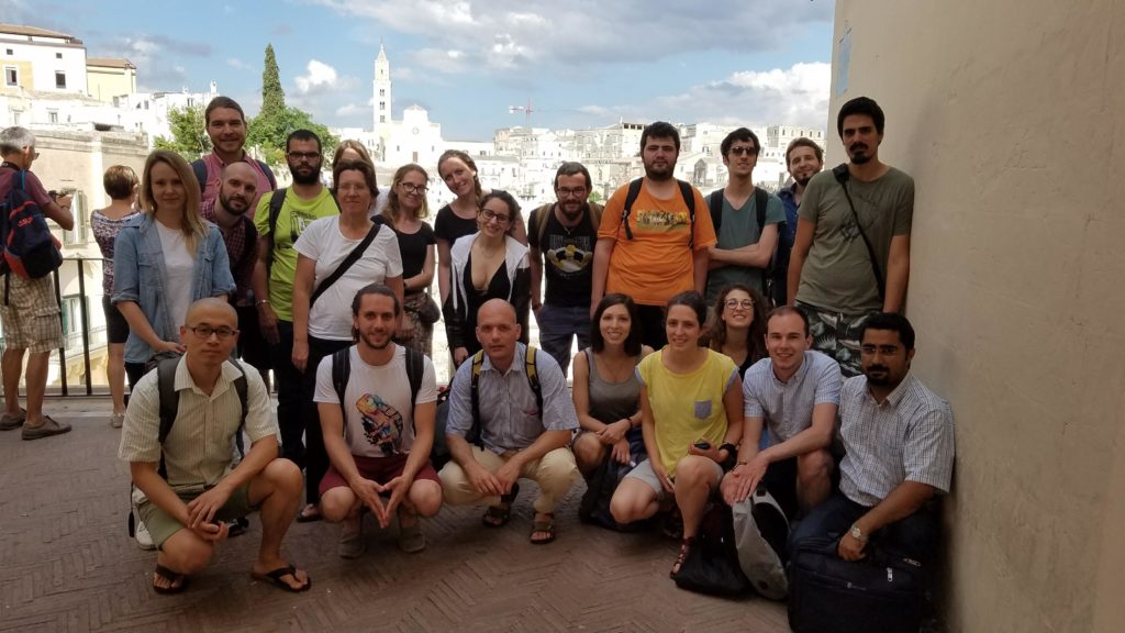
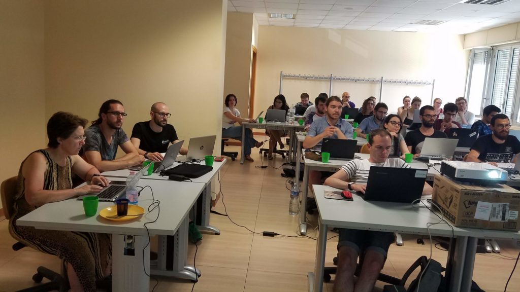
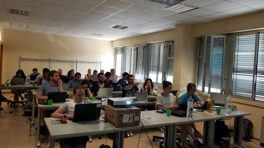
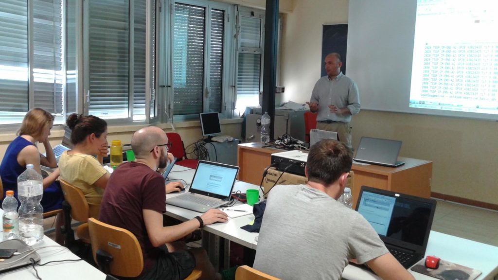
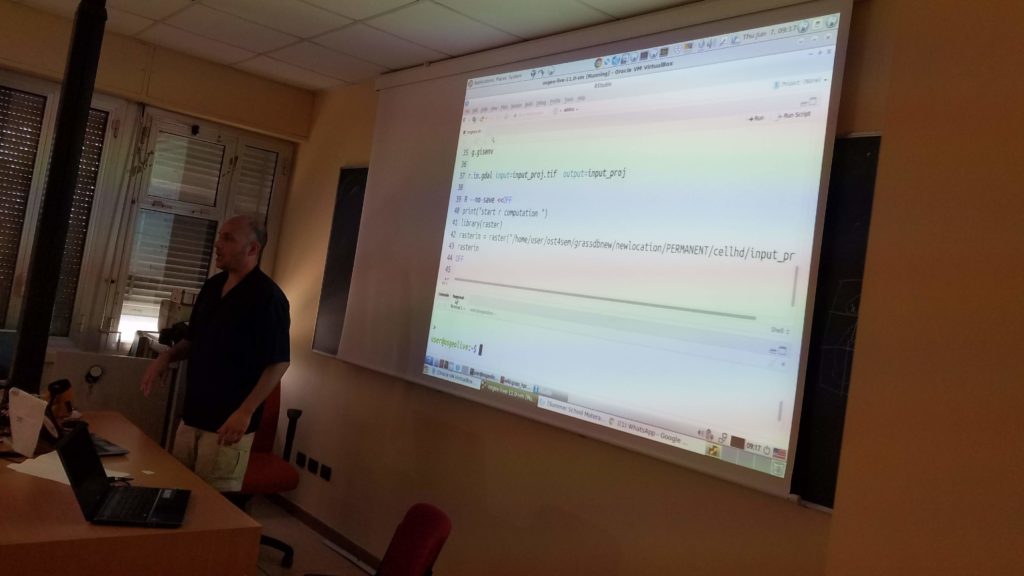
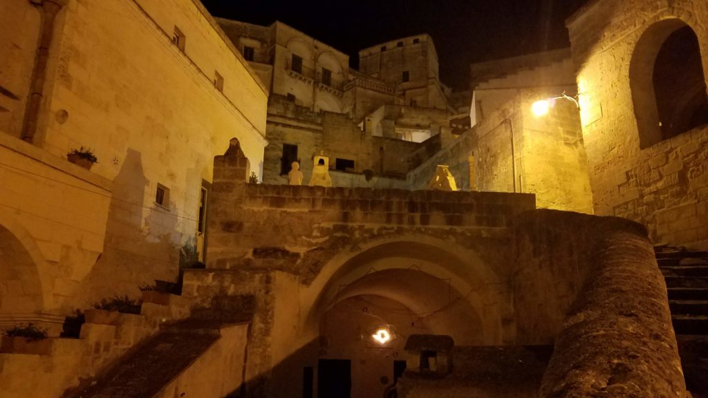
Photos UNIBAS Matera, Italy | June 2018
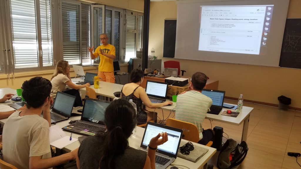
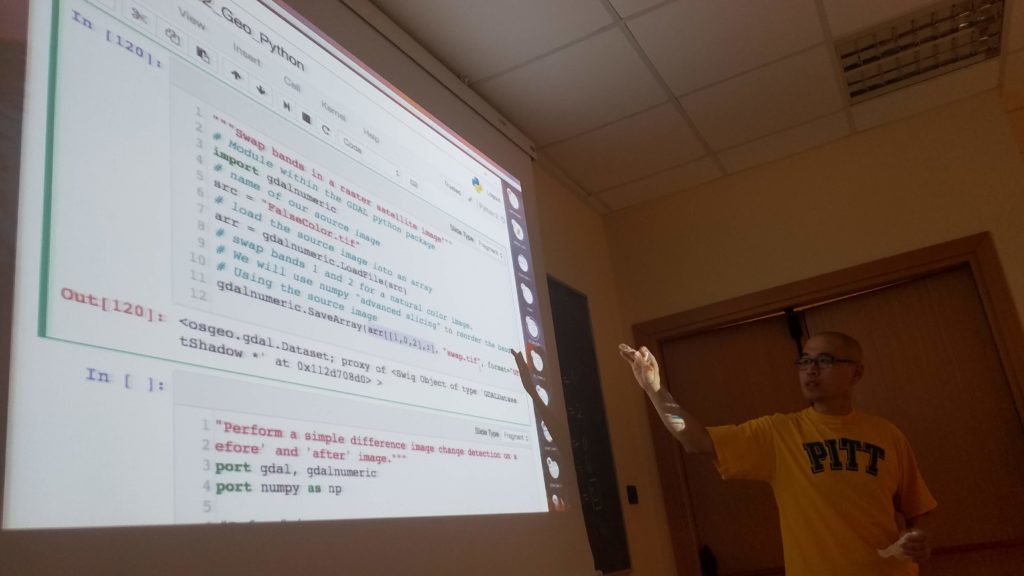
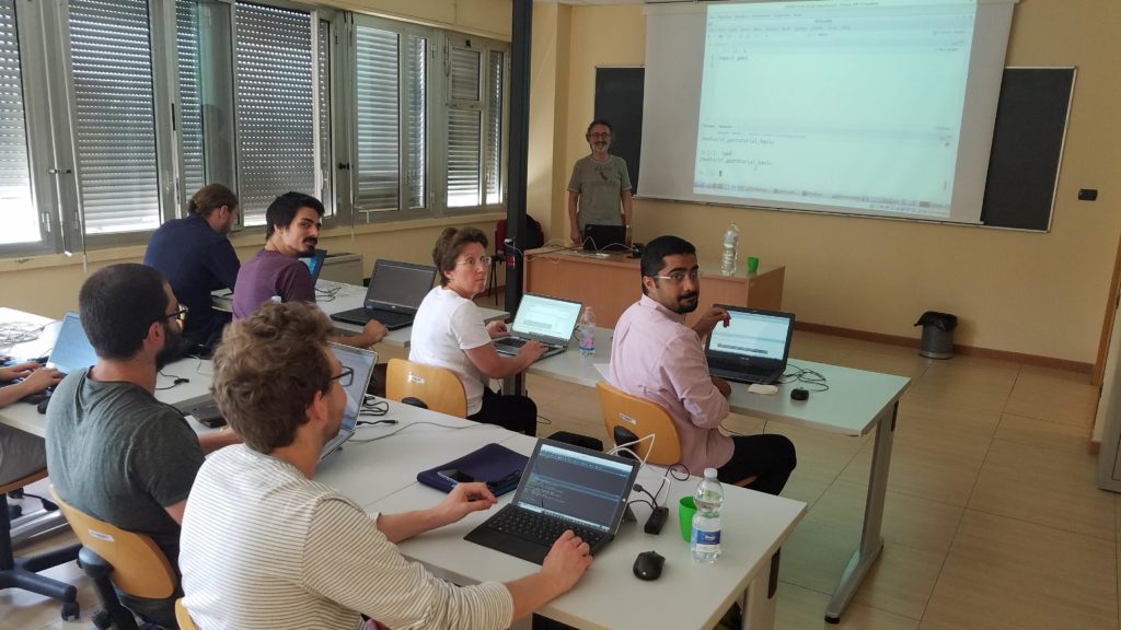
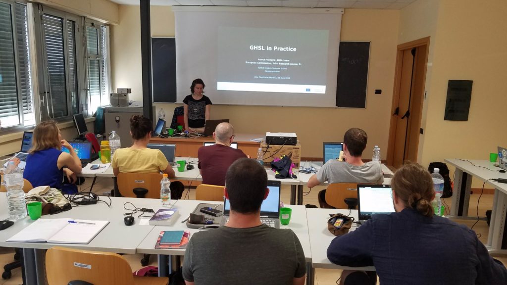

Useful Information – Berkeley – 2018
Event Location:
The course is being hosted at the Berkeley Institute of Data Science (BIDS) at the University of California, Berkeley in Berkeley, CA. BIDS is located in room 190 of the Doe Library on U.C. Berkeley’s campus next to the Memorial Glade.
lat/long: 37.8726717, -122.2600023
Accommodation:
Attendees can choose from a large range of Air BnBs or hotels within the East Bay. Accommodation in either Berkeley or surrounding towns (Emeryville, Oakland, Albany, El Cerrito, etc.) is likely most convenient. Attendees are advised to identify accommodation early, as affordable accommodation in the SF Bay Area can be found but takes time.
Travel Information:
The easiest way to reach Doe Library on U.C. Berkeley’s campus is the Bay Area Regional Transit (BART) system. The BART is an affordable train system connecting major cities within the Bay Area. The lines are easy to navigate, and the “Downtown Berkeley” station is within a 10 minute walk of Doe Library.
Additionally, the BART system connects to both the San Francisco (SFO) and Oakland (OAK) airports. Travel from the airport to your place of accommodation is convenient using both the BART and either a bus or Uber/Lyft (abundant in the Bay Area).
Registration procedure Matera 2018
In order to register, all participants have to:
- Register here
- Pay the registration fee
500 EUR or 440 GBP for Student (including Masters and PhDs).
1000 EUR or 880 GBP for Professional (private & public companies, university Post-Doc and PhD students enrolled in EU institution & International Organizations). Payments can be made via the methods below.- PayPal:
In your PayPal account, select the option “Send to Friend and Family”, enter the email info@spatial-ecology.net and then type the relevant amount. If a “Paying for goods or a service” option is visible, do NOT SELECT it.This is the most cost-effective transaction option for you and us. - Bank transfer:
Bank transfers can be made in two ways. Contact Tushar Sethi for bank account details (email: t.sethi@spatial-ecology.net).- Using your bank: If sending money by bank transfer, please ensure that GBP 440/GBP 880 is sent to our account, net of any bank charges. Do not make the transaction in EUR. We encourage people from UK to use this option that does not have transfer commission.
- Using https://transferwise.com: This is the best option for low-fee transactions and it ensures that the right amount arrives on time.
- PayPal:
Visa requirements: Before paying the registration fee, please check your visa requirements and account for visa issuance wait times, ensuring that you are able to travel to Italy in time for the Summer School.
You will be considered registered only ONCE the registration fee has been paid, we have received your completed questionnaire, your registration form AND we have sent you a confirmation email. If you encounter problems, please get in touch with Tushar Sethi at t.sethi@spatial-ecology.net.
3 fellowships are dedicated to students from the University of Basilicata as compensation for hosting the event. The University will select the 3 candidates. Spatial-Ecology will reserve these three fellowships until 31 March, 201
Partnership with FlyElephant
My computer can do that… when Elephants Fly
…the point is that students of our Summer School 2016 will be among the first in Spatial Ecology’s network to see elephants fly as we are solidifying a partnership with FlyElephant.net.
If you’re just getting started with exploring what Big Data is and what tools and methods are used in Big Data science, you probably have seen quite a bit of discussion of computer performance and associated hardware. Furthermore, unless you’re a university student with access to a specialized computer lab with machines that can handle large datasets and perform complex raster processing, you may be wondering how exactly you can work with Big Data (or, depending on your computer specs any amount of data). If you’re already a Big Data scientist stuck with a low-performance machine, you might be wondering how you’ll keep up with technology advances.
Of course one way around the limitations of your own computer performance is grid data processing networks or computer clusters where complex processes are distributed to multiple machines. But as a student or a professional with limited resources you might be in a bind for the processing power you need to explore the kind of Big Data that tickles your fancy. You might think: My computer can handle that, when Elephant Fly!
Pardon the euphemism, but the point is that students of our Summer School 2016 will be among the first in Spatial Ecology’s network to see elephants fly as we are solidifying a partnership with Flyelephant.net. Students who attend our training courses will have access to FlyElephant’s web supported OSGeoLive operating system. Critical for students will be the exposure to the rich data processing environment offered by FlyElephant. Processing raster data in a cloud environment relaxes the pressures to have a high-performance machine for processing Big Data. FlyElephant also has resources for collaboration and managing projects remotely.
What does this mean for Spatial Ecology? Our partnership will lead to additional resources for processing UAS data, remote sensing data or any data and added tutorials on our wiki page for integrating Open Source tools we currently cover into a workflow based on FlyElephant’s cloud resources.
So far Spatial Ecology has taught cloud computing on-demand services with the use of awarded educational grants for Microsoft Azure and Amazon Web Services (AWS EC2). The new partnership with FlyElephant enables us to increase our cloud computational capacities both for teaching and real data processing. FlyElephant is providing ad hoc operating systems solutions for our students (OSGeo-live), drone images processing for 3d and orthophoto WPS (Web Processing Services) and Rasdaman cloud platform. Furthermore, we will be able to develop and add other software solutions to FlyElephant which potentially will be widely used within the open source geoprocessing community of researchers and other users.
